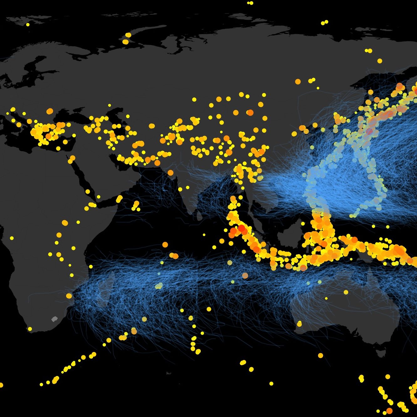
Project overview:
Developing new methods for rapid natural disaster impact assessment that are (1) more accurate (leveraging remote-sensing and big spatial data analytics), and (2) better reflections of post-disaster need (integrating social vulnerability).
What motivates this work?
The specific ways in which we measure the impact of disasters shapes the way that response and recovery are orchestrated. We witnessed in Nepal and elsewhere that by narating impact as a measure of damage and loss to physical assets (e.g. number of houses and bridges destroyed, etc), this focuses attention (and funding) on communities that had lost the most, but not necessarily needed most. Seen another way, measuring impact in terms of assets damaged focuses attention away from those who had lost little simply because they had few assets to lose (typically the poorest and most vulnerable). In this way we saw that disasters not only reflect inequality, but can often deepen inequality further. This does not arise from malicious intent from anyone involved, but simply as an outcome of the way we measure and build our databases of disaster impact. So to correct this, we’d like to change the way we measure disaster impacts.

